
Project delivery
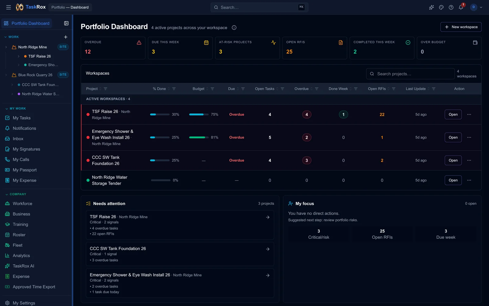
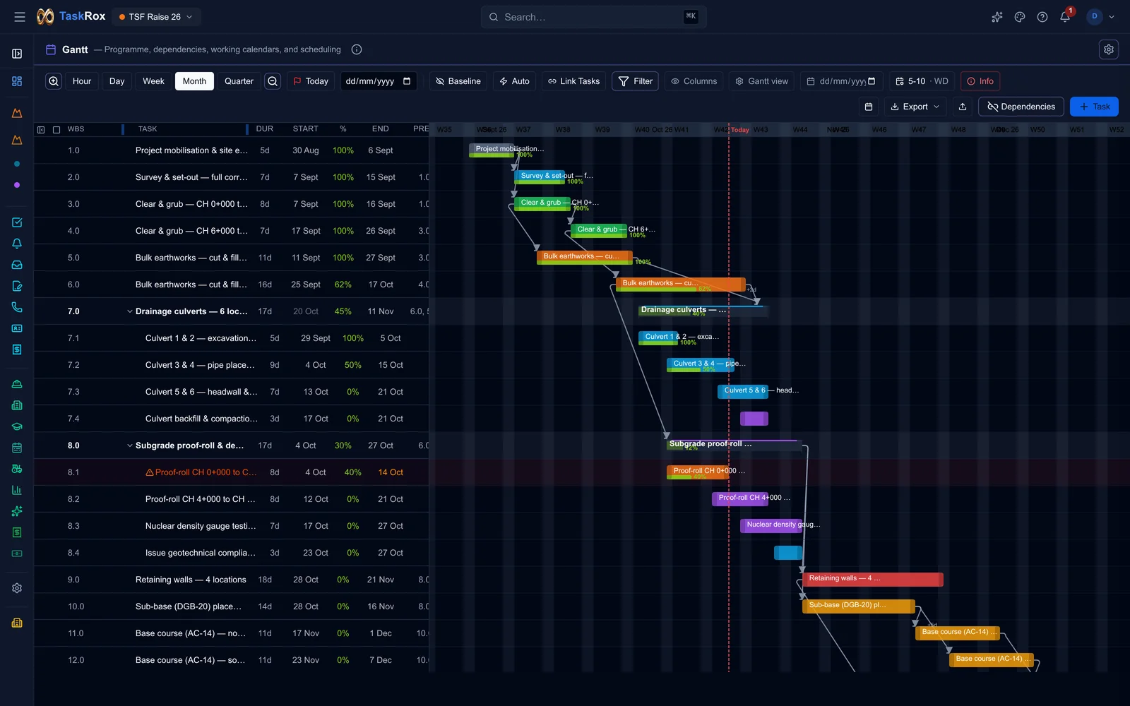
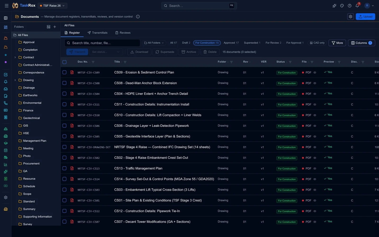
TaskRox
Project and operations software for construction, civil and mining teams.
Brings schedules, documents, quality, safety, workforce and cost controls into one connected workspace.
Products we design, build and operate: project delivery, signal coordination, business messaging and process governance. The same team builds applications, AI and data systems for clients.
Project and operations software for construction, civil and mining teams.
Brings schedules, documents, quality, safety, workforce and cost controls into one connected workspace.
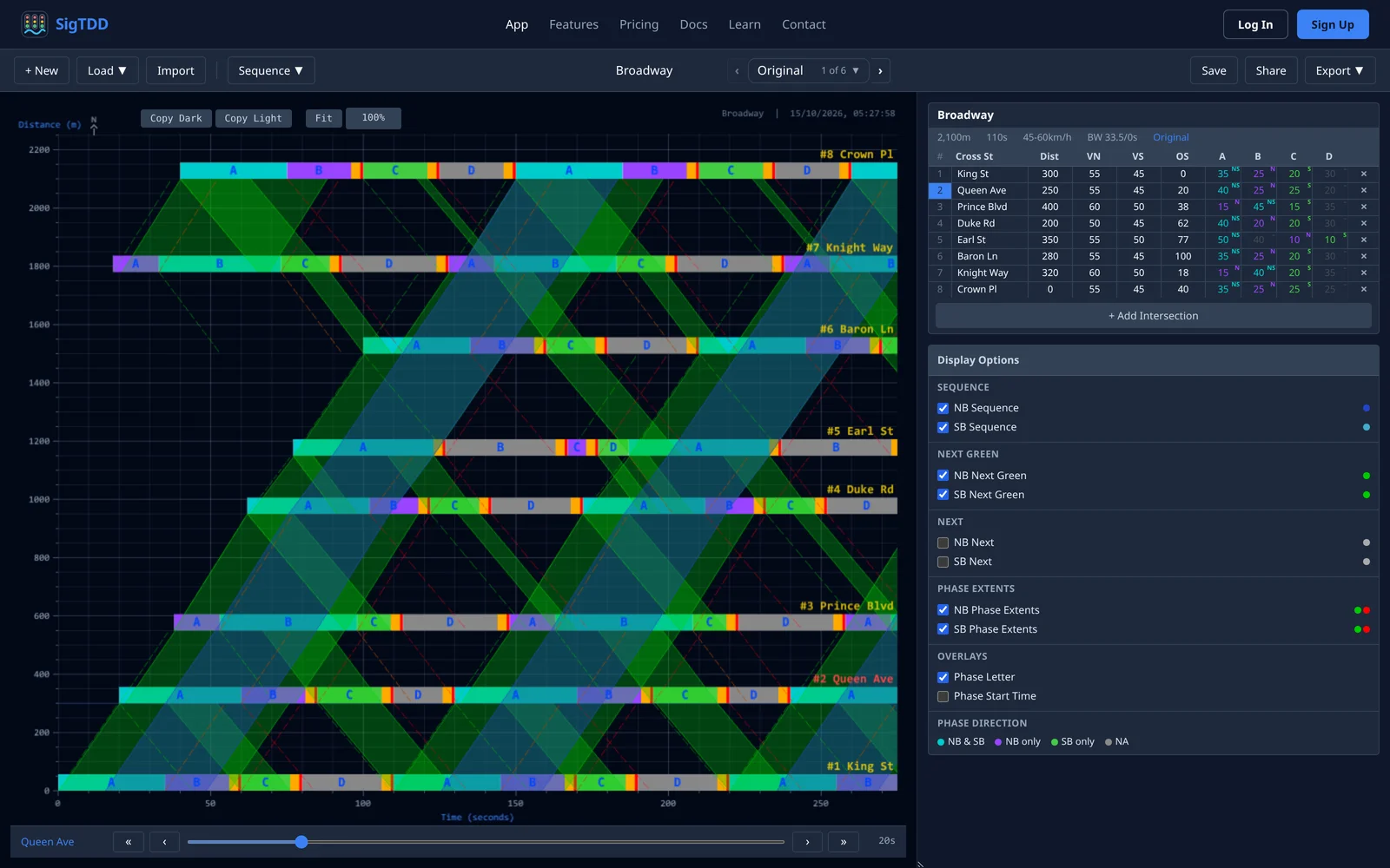
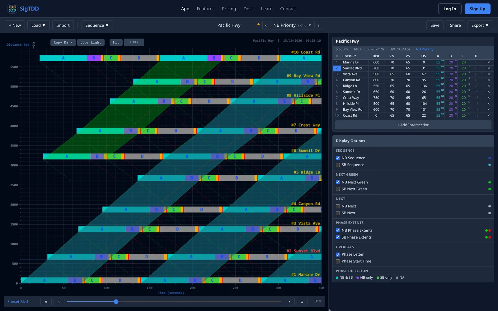
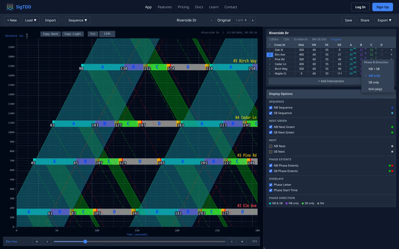
Browser-based time-distance diagrams for traffic signal coordination.
Build a corridor, adjust signal offsets and visualise progression, with timing plans and shareable diagrams.
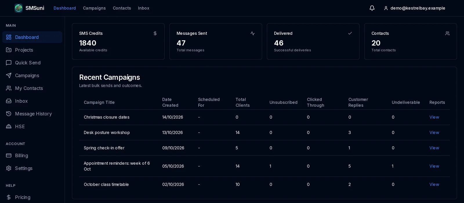
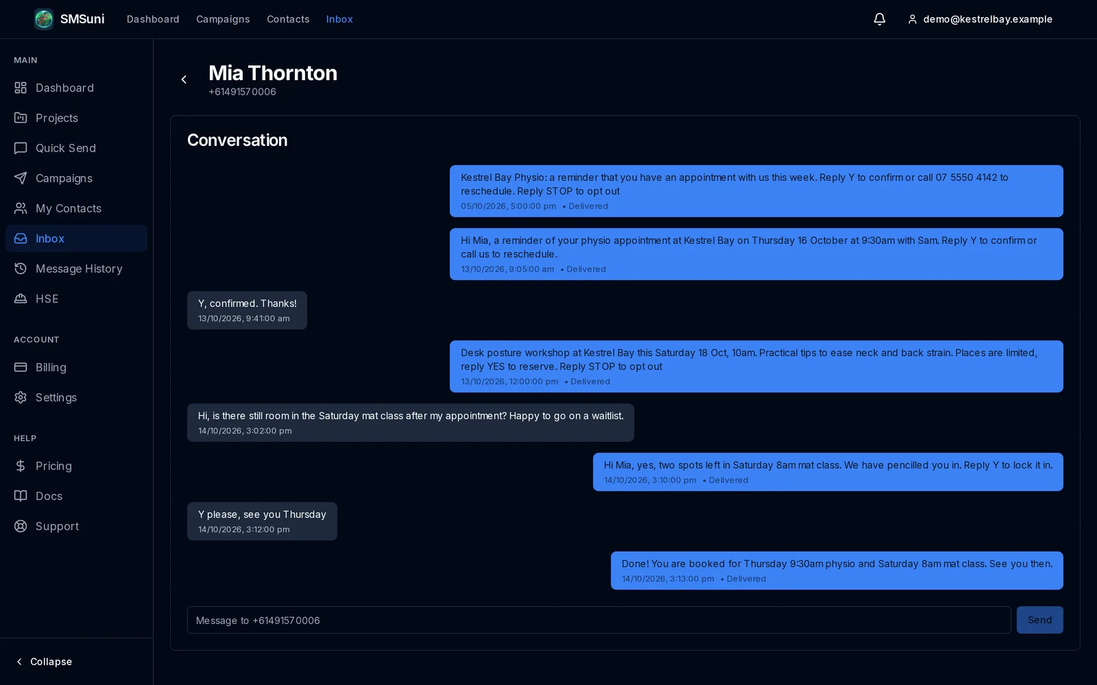
Australian business messaging through a web dashboard and developer API.
Contacts, campaigns, two-way messaging and project-linked records bring message workflows together.
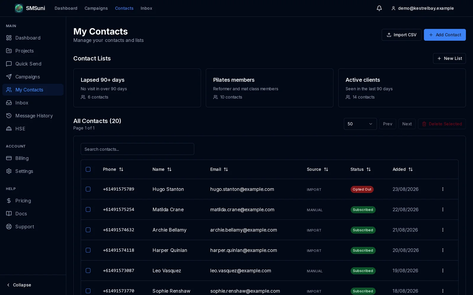
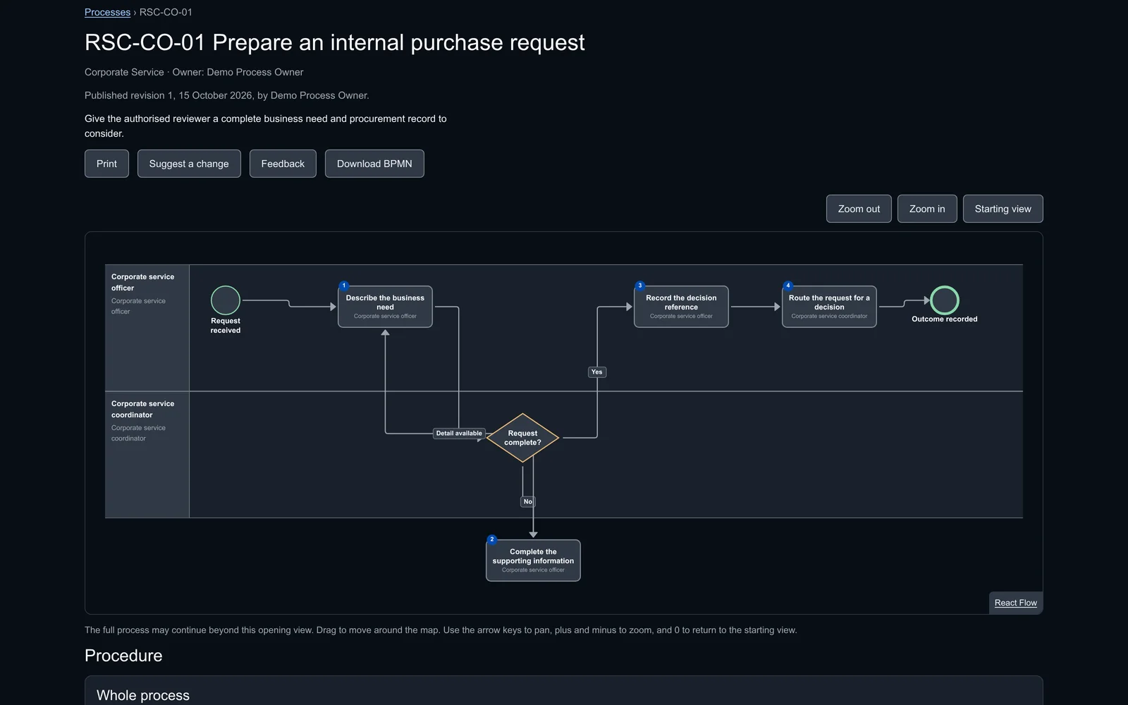
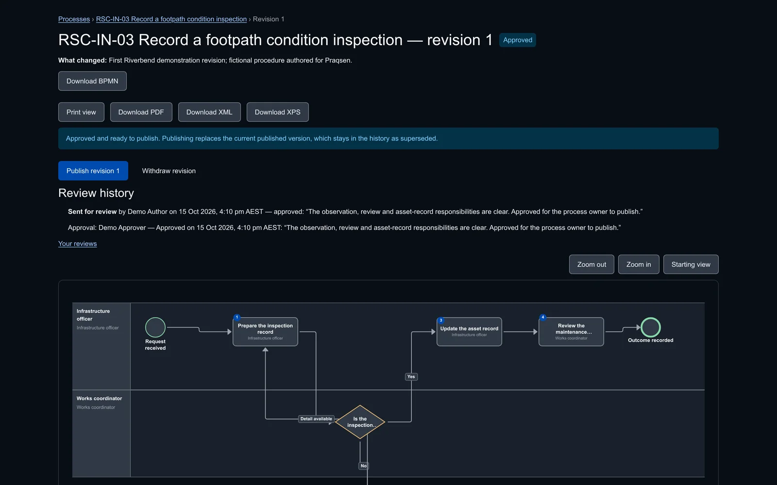
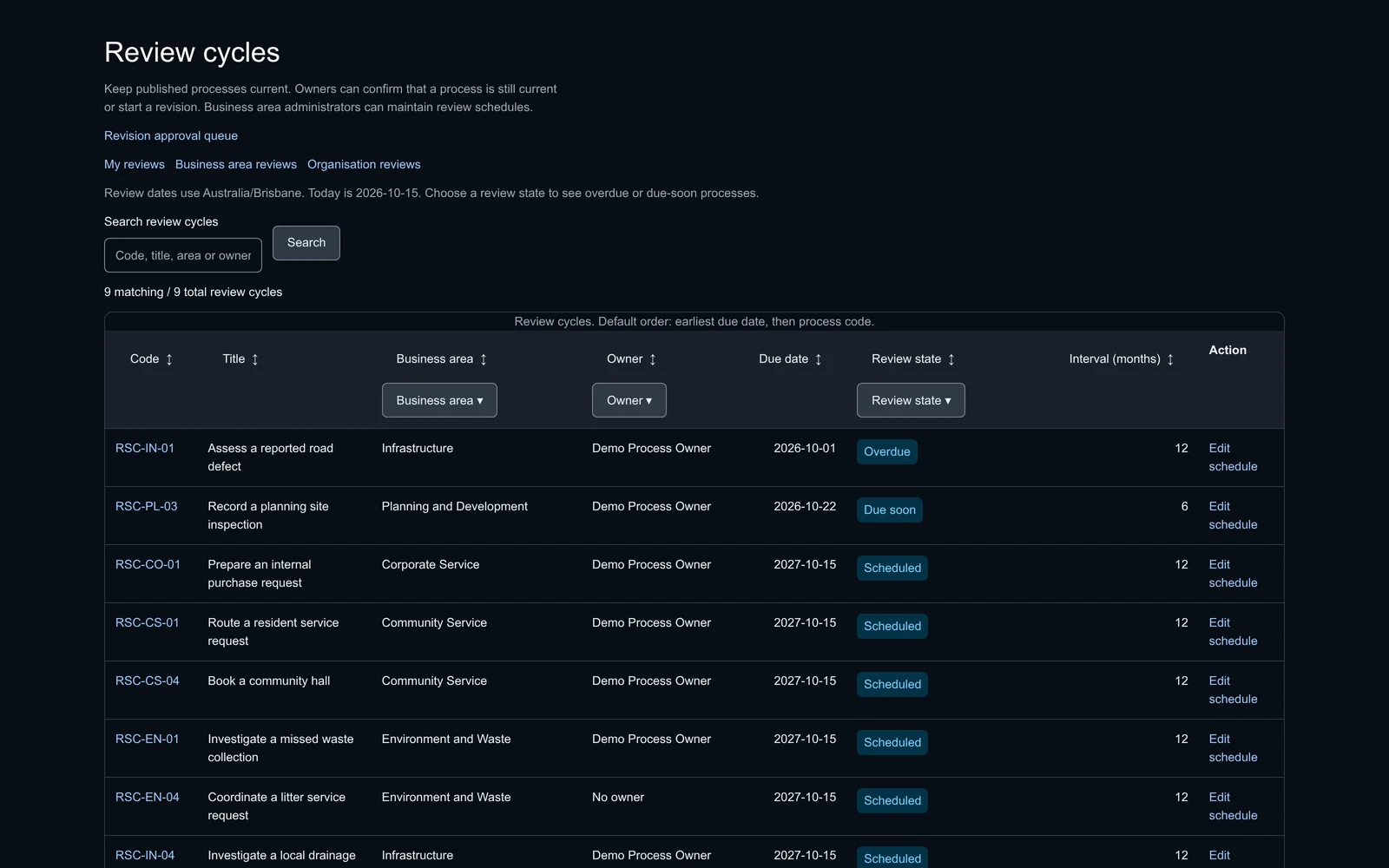
Process mapping and governance: one maintained, approved version of every process.
Authors draft maps and procedures, owners review and approve them, and staff find and read the current published version, with every change and approval kept.
GIS, tracking and reporting systems built to run engineering programmes.
GIS mapping of all infrastructure and services at the Tropicana gold mine, with overlays for planning, operations and regulatory compliance, feeding project reporting in Excel and VBA, Power BI and ArcGIS across the mine's capital and maintenance projects.
Blackwater mine, Queensland · 2018Project controls for the execution phase of a tailings-dam raise at BMA's Blackwater mine: Excel workbooks with dashboards and automated reporting for schedules, quality assurance, variations and cost, and GIS data brought into the CAD workflow to place new works exactly.
Gladstone, Queensland · 2025An ArcGIS mapping system for the site works on a tailings storage facility raise at the Queensland Alumina refinery in Gladstone.
Clermont coal mine, Queensland · 2023–2025A tracking system for the Clermont mine's Progressive Rehabilitation and Closure Plan, built in Excel and Power BI and linked to ArcGIS, with automated milestone and compliance reporting through to 2042, executive progress dashboards and the plan's quality requirements tied to the inspection and test plans for each rehabilitation work.
Clermont coal mine, Queensland · 2023–2025A custom project-management tool built in Excel with VBA and Python for Glencore's Clermont operation: interactive Gantt charts, automated status updates, quality-assurance integration, variation tracking and Power BI reporting.
Isaac region, Queensland · 2013An ArcGIS-linked tracking system for a $15 million flood-restoration contract across the Isaac Regional Council area: more than 1,500 repair works tracked from crew workpack through quality assurance, test requests, contract compliance and budget reconciliation to weekly and monthly reporting.
Wyalkatchem, Western Australia · 2015–2018A GPS-linked tracking system and Android field app that ran 155 flood-repair works across the Shire of Wyalkatchem's road network, from inspection photographs to the disaster-recovery funding claim.
Dalby region, Queensland · 2022Excel and VBA workbooks tracking each work item's status, quality, claims and milestones on the Surat Gas Project road construction around Dalby, with GIS mapping that sequenced sites along efficient haul routes from gravel resources.
Fremantle, Western Australia · 2014–2015A GIS-based system for the City of Fremantle's waste service — about $8 million a year in operating budget — that tracked every daily ratepayer and commercial bin pickup across the fleet, matched actual pickups against the amounts billed through the finance system and informed route optimisation.
2005A Microsoft Access asset database integrated with MapInfo that held a whole shire road network as asset information, for spatial display, analysis and asset management across the network.
2004A Windows desktop application, first released in 2004, that draws corridor time-distance diagrams for coordinating traffic signals — the forerunner of the SigTDD browser product.
Gold Coast, Queensland · 2002–2004COUNT, an Excel and VBA intersection volume calculator built for the Department of Transport and Main Roads on the Gold Coast, turning manual intersection counts and the regional traffic census into current-year design volumes.
Central Queensland, basin-wide · April–June 2025A basin-wide GIS of past and current environmental monitoring for a Central Queensland natural resource management body, delivered as GIS subconsultant to the head environmental consultant: an ArcGIS Pro workspace, Python automation, 76 standardised layers, a shared ArcGIS Online web map and a print-ready map series.
Describe what the application must do and who will use it; the reply sets out a scope, the stages and the first release.